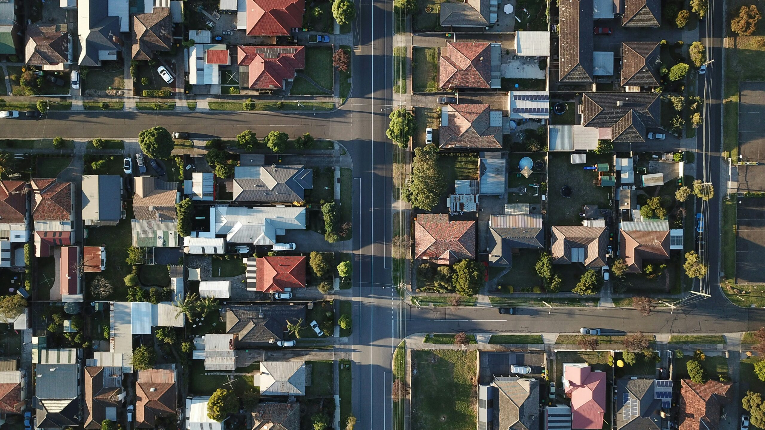
Geotechnology for strategic decisions
Discover the specific characteristics of each territory with Linkages' analyses! Our solution provides analyses with up-to-date geodata on population, income, urban zoning, building guidelines, and other urban and environmental information to aid your decision-making.
Business Segments

Real estate market
We mapped potential areas to accelerate feasibility studies.

Retail and Franchises
We identify the best locations for the expansion of major brands.

Agro-environmental and Climate
Integrated analyses of the territory to identify constraints, risks, and opportunities.

Smart Cities
We transform data into actionable information for management and planning.
Market Reports
Turn territory into a competitive advantage! Growth, expansion, and efficiency require decisions based on reliable data.
With our Market Research ReportsYou combine geotechnology and geospatial intelligence to make precise decisions, reduce risks, and generate real results.
Our Ecosystem
Our market mapping method is based on broad, intelligent and automated geolocation data collection to provide fast results. We are immersed in the largest innovation ecosystems in Brazil! We are a daughter company of UNICAMP and have a space at USP - Campus São Paulo, in the NIDUS Program.

Customers
Content

Discover the Linkages geodata ecosystem.
Making decisions about expansion, investment, or development without territorial intelligence is to take unnecessary risks. Territory is not just location—it's legislation, economic dynamics, population behavior, infrastructure, and urban transformation happening simultaneously. At Linkages Geoespacial, we integrate strategic layers of geodata that allow us to see what the market doesn't yet see. Below, you'll understand how each data set directly impacts decision-making. Zoning & Building Guidelines: Integrates detailed information on urban legislation, utilization coefficients, building height limits, occupancy rates, permitted uses, and construction restrictions. This geodata allows us to simulate construction potential, evaluate technical feasibility, and...

Investing in Brazil requires more than spreadsheets: The role of geodata in the Feasibility Study phase of Real Estate projects.
In Brazil, real estate investment decisions are still frequently made based on outdated, fragmented territorial data that has a low capacity to represent real urban dynamics. The time lag in public databases, the methodological heterogeneity between sources, and the low spatial resolution create a high-risk environment precisely at the most critical stage of the project: the feasibility study. In a country of continental dimensions, with accelerated urban growth, territorial informality, and rapid changes in land use and occupation, feasibility models that treat the territory as static tend to generate significant distortions in the assumptions of

The turning point: Why 8 out of 10 successful businesses love their location (and what challenges they hide)
The location of a business is more than just a point on a map; it's a strategic decision that can dictate long-term success or failure. We analyzed data from companies of various sizes and sectors to discover: what truly motivates the choice of an address, how entrepreneurs evaluate their decision, and what obstacles persist, even among the most satisfied. Get ready to unveil the X-ray of Business Location in Brazil. In practice, this is exactly the type of diagnosis that Linkages Geoespacial develops for companies that need to decide where to be located — and,

Why outdated data in the 'feasibility studies' phase puts real estate investments at risk.
The territory is in constant transformation. New ventures emerge, population flows shift, socioeconomic profiles change, and urban dynamics reorganize themselves in increasingly shorter cycles. In such a scenario, making strategic decisions based on outdated data means taking on invisible risks that directly impact the profitability, positioning, and sustainability of any investment. Companies that fail to keep up with this evolution end up making decisions about a territory that no longer exists. Feasibility Studies: The Geodata Turnaround — From Technical Resource to Strategic Asset. The feasibility studies phase.

