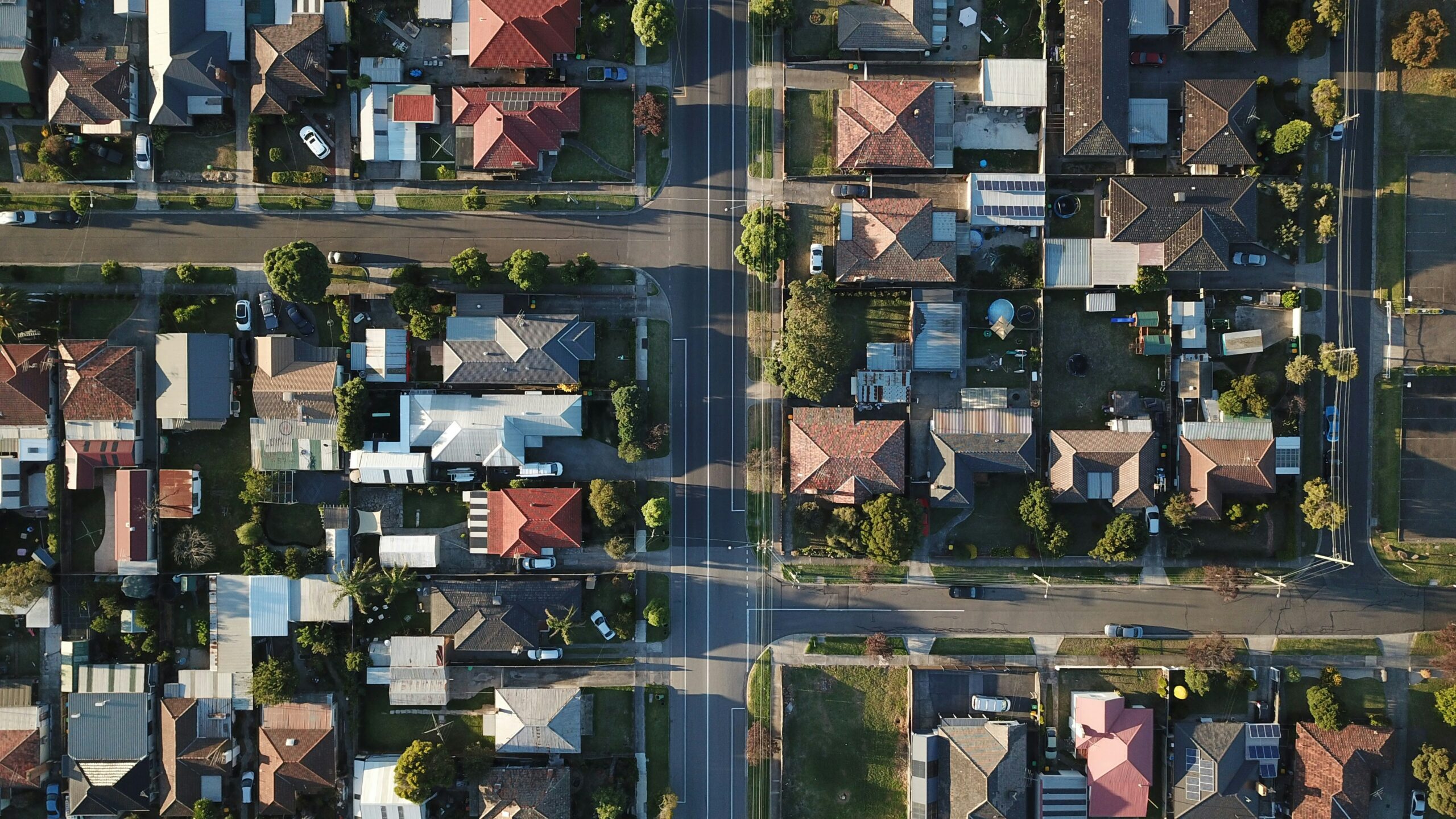
Discover our geotechnology.
Location matters and is crucial to the success of any business! Linkages solves the lack of qualified data about the territory and optimizes market analysis with the application of geospatial AI. Our differentiator is delivering qualified and fast location recommendations and analysis.
Benefits
RESULT ON THE MAP
It is possible to view all the urban and environmental information important for decision-making on a single map.
URBAN GEODATA
We use georeferenced data to map the socioeconomics, urban zoning, building guidelines, and current laws of municipalities.
CONSUMPTION POTENTIAL
Geospatial analysis and future insights into the consumption potential and local competition that may impact your business.
URBAN GROWTH
We understand the municipality's expansion areas and indicate the best locations for operation.
APPLIED GEOTECHNOLOGY
Using technology to identify areas, land, and properties that meet the specific needs of each project.
OPTIMIZE YOUR TEAM
Save your expansion and prospecting team weeks of work by avoiding potential losses from poor choices.

Real Estate
Mapping of areas based on up-to-date territorial and market data. We cross-reference zoning information, construction guidelines, socioeconomic profiles, and urban infrastructure to reduce risks, accelerate feasibility studies, and increase the return on investment for projects.

Retail
Location intelligence for expansion and performance. We identify where ideal customers are located, the consumption potential, and the competitive pressure in each mapped area, allowing for more informed decisions regarding the opening, closing, or repositioning of points of sale.

Franchises
We support franchise networks in their expansion by identifying the best locations for new units. Using geospatial analysis and predictive models, we increase the accuracy of location selection, reducing the risk of cannibalization and raising the success rate of franchises.

Cities
We provide Spatial Intelligence for smart cities. We transform complex geographic data into actionable information for integrated management, monitoring, environmental risk control, and urban planning, optimizing resources and supporting strategic decisions.

Agribusiness
We apply geospatial intelligence to identify the productive, logistical, and economic potential of areas. Our analyses support decisions regarding the location of operations, infrastructure, expansion, and regional competitiveness, connecting territorial data to business strategy.

Environmental
Integrated environmental analyses tailored to the specific territory to safely identify constraints, risks, and opportunities. We support ESG projects that need to reconcile expansion, legal compliance, and sustainability, integrating data into strategic planning.
Our Solution
Choosing the ideal location for a development may seem like an insurmountable challenge, considering the complexity of the factors involved. After all, it includes urban laws, existing infrastructure, environmental and social characteristics, real estate market dynamics and many other variables.
Our solution provides access to updated and georeferenced market data, facilitates its interpretation and interaction with it, and maps accessible options, consistent with the project in question.
All this with the peace of mind of knowing that the final choice is based on data and recommended by experts.

