Socio-environmental Study

Map communities, social dynamics, and potential territorial impacts of projects. The analysis supports licensing processes and contributes to more sustainable and responsible decisions. Ideal solution for environmental consultancies, funds, power plants, and carbon projects.

Our Services

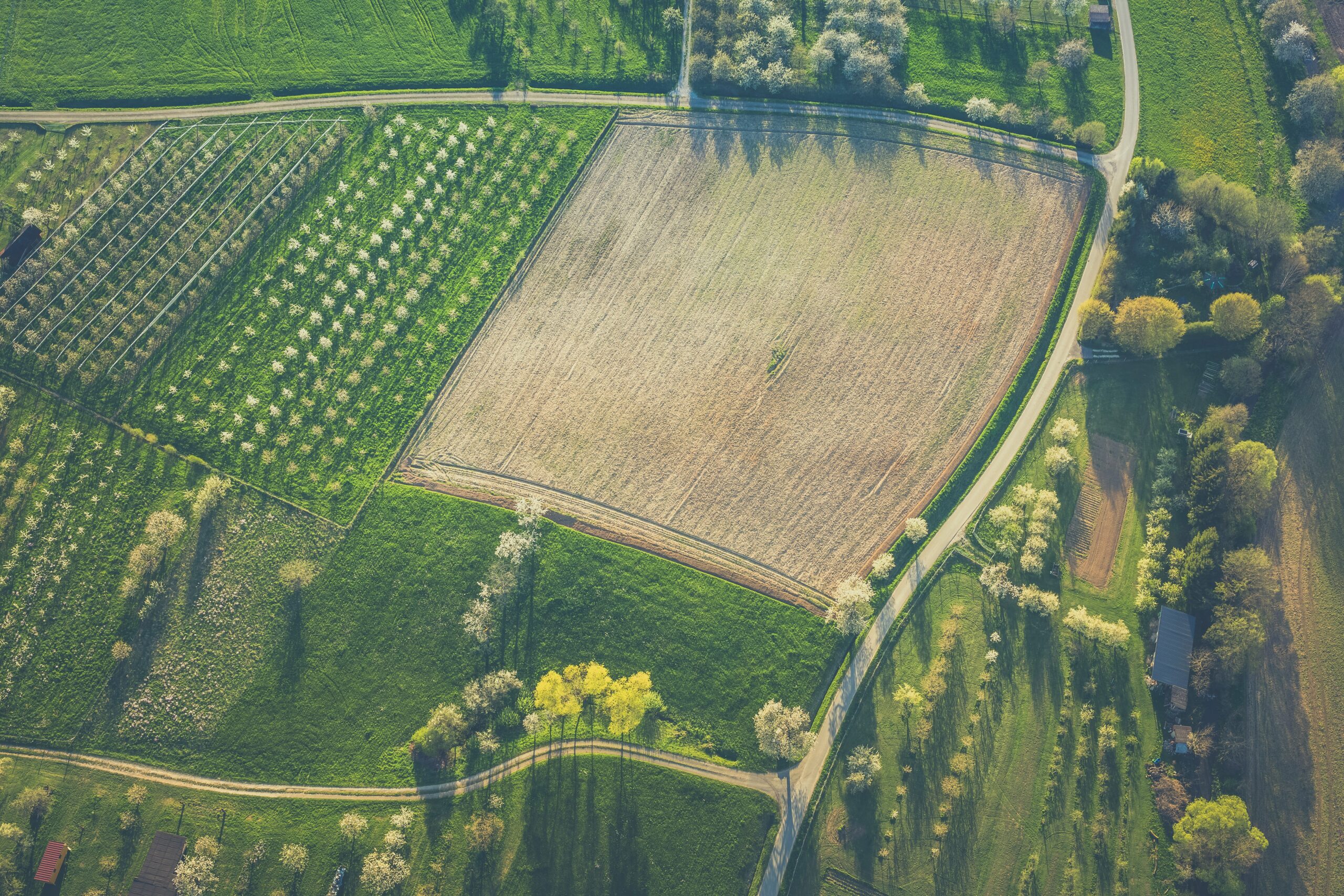
Areas for Carbon Projects

We have identified good areas for investment in carbon projects, considering international methodologies.

Socio-environmental Study

We cross-reference infrastructure, environmental, social, and economic data for feasibility studies of large projects.

Climate Risks

We integrate climate data, historical environmental data, satellite imagery, and territorial variables to map areas most susceptible to extreme events.

Benefits

RESULT ON THE MAP

It is possible to view all the urban and environmental information important for decision-making on a single map.

URBAN GEODATA

We use georeferenced data to map the socioeconomics, urban zoning, building guidelines, and current laws of municipalities.

POTENTIAL IMPACT

Geospatial analysis and future vision regarding the potential impact of large-scale projects.

URBAN GROWTH

We understand the municipality's expansion areas and indicate the best locations for operation.

APPLIED GEOTECHNOLOGY

Using technology to identify areas, land, and properties that meet the specific needs of each project.

OPTIMIZE YOUR TEAM

Save your expansion and prospecting team weeks of work by avoiding potential losses from poor choices.

Case: Advanced geospatial intelligence to enhance competitiveness.

A large consulting firm faced a strategic challenge while operating in the Northern region of Brazil: the limited and outdated public databases available for identifying soybean and corn storage facilities. The lack of complete information compromised the understanding of the territory, reduced the accuracy of logistical analyses, and hindered the generation of competitive advantages for its projects.

Linkages applied advanced remote sensing and geospatial analysis techniques to map agricultural warehouses with greater precision and scope than existing public databases. From the detection of the silos, the information was integrated and cross-referenced with other layers of territorial data, allowing for a more complete view of the infrastructure, production dynamics, and regional logistics.

The result was a deeper understanding of the territory, with more complete, up-to-date, and strategic data. The solution expanded the consultancy's analytical capacity, reduced uncertainties, and strengthened its competitiveness by transforming geospatial intelligence into a real differentiator for decision-making in agribusiness.

Request your demo now!

Request your demo now!