From territorial science to business innovation.
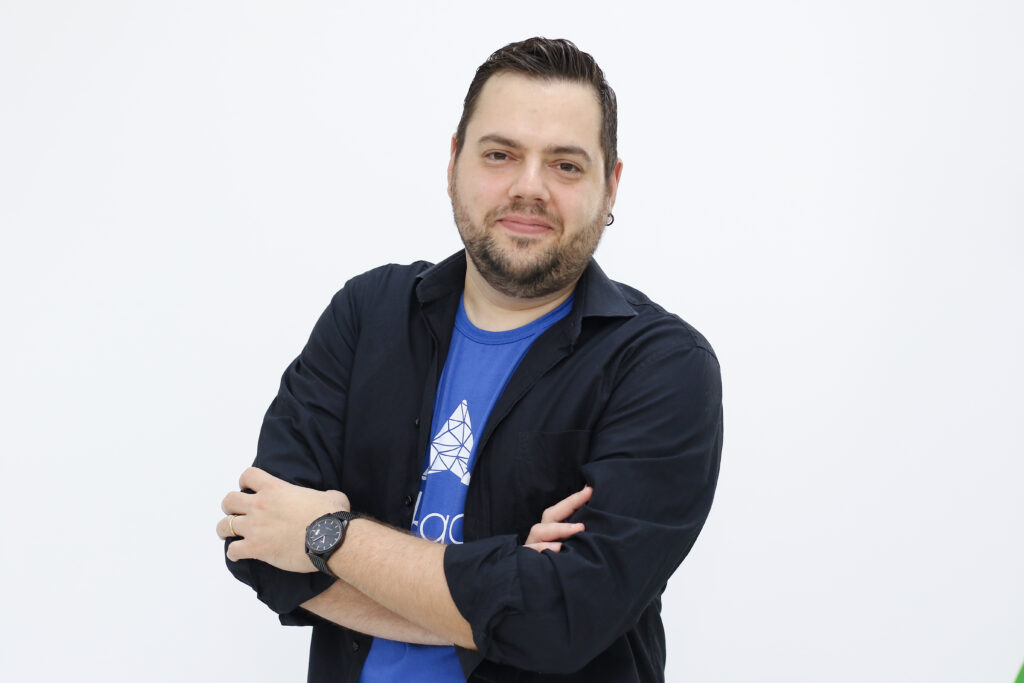
Dr. Lucas Baldoni He is the founder and CEO of Geospatial Linkages, specialist in territorial intelligence, geomarketing and GeoAI. With over 15 years of experience in geotechnologies, spatial analysis and market intelligence, she dedicates her career to developing solutions that transform territorial data into strategies for companies and governments.
Geographer by UNESP, Master's and PhD in Geography from UNICAMP and Post-Doctorate by USP, Lucas combines a solid academic background with extensive experience in innovation and technological development. Throughout his career, he has led projects in the areas of geomarketing, market expansion, territorial intelligence, urban planning, socioeconomic analysis, and regional development, always connecting science, technology, and business.
At the helm of Linkages, he leads the development of proprietary methodologies, geospatial analysis models, and GeoAI-based solutions, consolidating the company as a benchmark in territorial intelligence applied to the market. His vision is to transform how companies and governments use geographic data, making market, location, expansion, and investment decisions smarter, safer, and evidence-driven.
Recognized for his work at the interface between applied research and innovation, Lucas believes that territory is one of the most strategic assets for the sustainable growth of organizations. His work is guided by the creation of technological solutions capable of revealing opportunities, reducing risks, and boosting businesses.