Agribusiness
By combining geodata, satellite imagery, advanced geospatial analysis, GeoAI, and proprietary methodologies, we support producers, cooperatives, agribusinesses, and investors in identifying opportunities, expanding operations, and strategic planning. Our solutions reduce risks, increase operational efficiency, and provide intelligence for more assertive decisions throughout the agribusiness chain.
Our Solutions
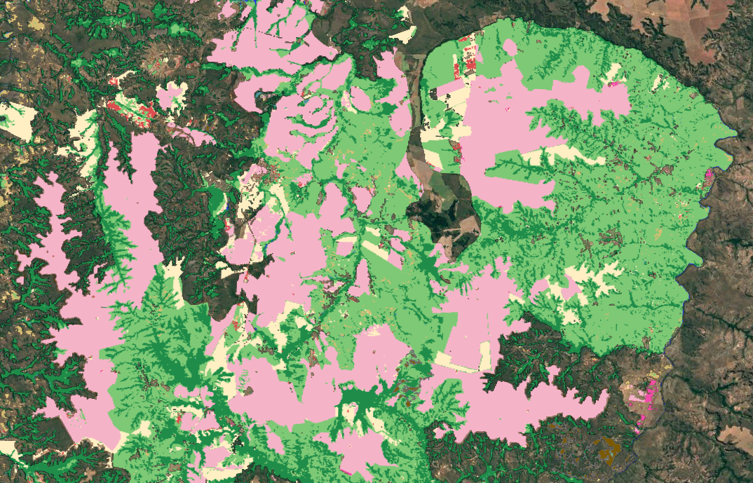
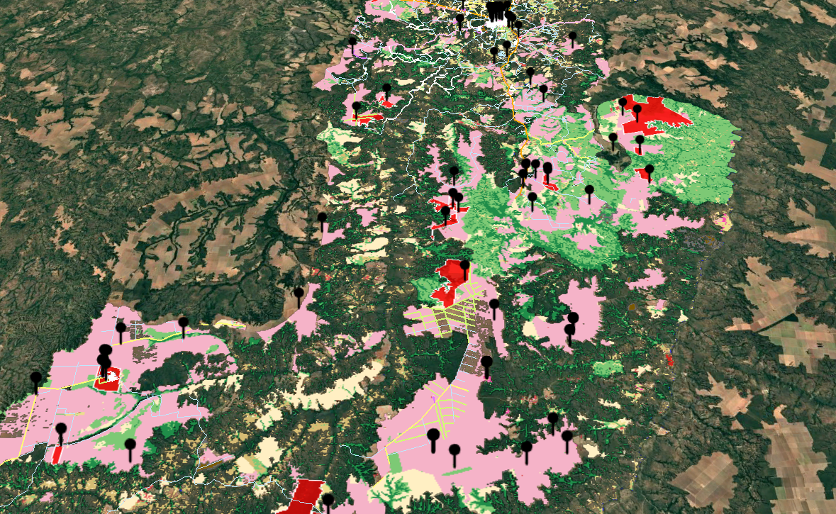
Mapping of Areas for New Units
We develop studies to define the ideal location for silos, warehouses, agro-industries, plants, and distribution centers. Combining geodata, multi-criteria models, and GeoIA, we identify locations that offer greater operational efficiency, better logistical access, and the greatest growth potential.
Agricultural Production Estimates
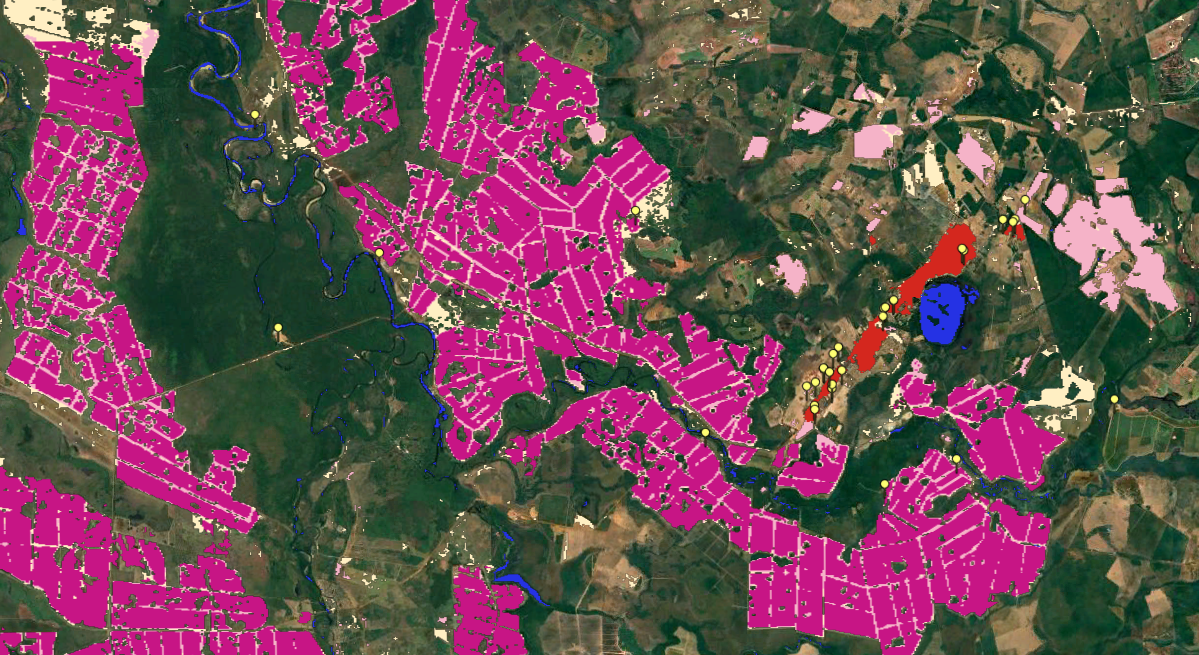
We apply geospatial models to estimate productivity, production volume, and agricultural potential of major crops. The integration of satellite imagery, climate data, and territorial information allows us to generate reliable projections, supporting production planning, marketing, and investments in agribusiness.
Studies for Agricultural Expansion
We identify regions with the greatest potential for expanding agricultural operations through geospatial analyses that integrate territorial suitability, infrastructure, logistics, market, and land availability. These analyses support decisions regarding acquisition, leasing, and expansion, reducing risks and maximizing return on investment.

Benefits
RESULT ON THE MAP
It is possible to view all the urban and environmental information important for decision-making on a single map.
URBAN GEODATA
We use georeferenced data to map the socioeconomics, urban zoning, building guidelines, and current laws of municipalities.
CONSUMPTION POTENTIAL
Geospatial analysis and future insights into the consumption potential and local competition that may impact your business.
URBAN GROWTH
We understand the municipality's expansion areas and indicate the best locations for operation.
APPLIED GEOTECHNOLOGY
Using technology to identify areas, land, and properties that meet the specific needs of each project.
OPTIMIZE YOUR TEAM
Save your expansion and prospecting team weeks of work by avoiding potential losses from poor choices.
Case: We created a radar that monitors the performance of the refrigeration industry sector.
A cold storage equipment company faced a strategic challenge in its growth process: integrating its main operations into a single environment while simultaneously sustaining business expansion in Brazil and abroad. Information was scattered across different channels, hindering lead management, internal communication, and access to content relevant for decision-making.
Linkages developed Radar, an exclusive digital environment entirely dedicated to the company, structured to centralize leads, consolidate news dissemination, organize strategic information, and integrate internal communications. The solution was designed to transform how the team accesses, shares, and uses data on a daily basis.
The result was a significant gain in productivity, greater alignment between areas, agility in managing opportunities, and a more integrated operation — allowing the company to direct its efforts toward structured growth and market expansion with greater efficiency and control.