Energy
Transformamos informações territoriais em inteligência para reduzir riscos, otimizar investimentos e aumentar a eficiência operacional. Nossas soluções apoiam desde a expansão da infraestrutura elétrica até a seleção de áreas estratégicas e o planejamento de grandes empreendimentos, contribuindo para decisões mais seguras, sustentáveis e orientadas por dados.
Our Solutions
Expansão da Rede Elétrica
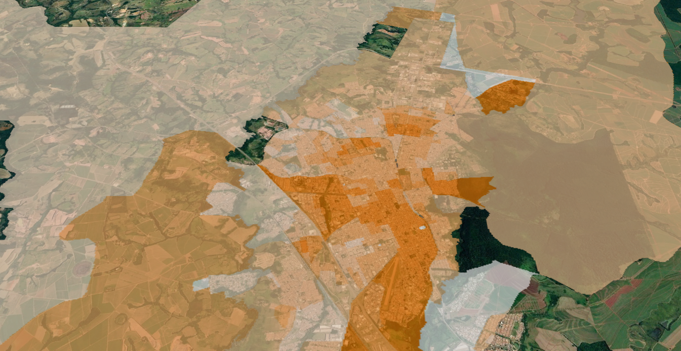
Identificamos as áreas com maior potencial de crescimento da demanda energética. Com base em geodados, projetamos cenários de expansão e priorizamos investimentos em infraestrutura, contribuindo para uma rede mais eficiente.
Mapeamento de Áreas para Baterias
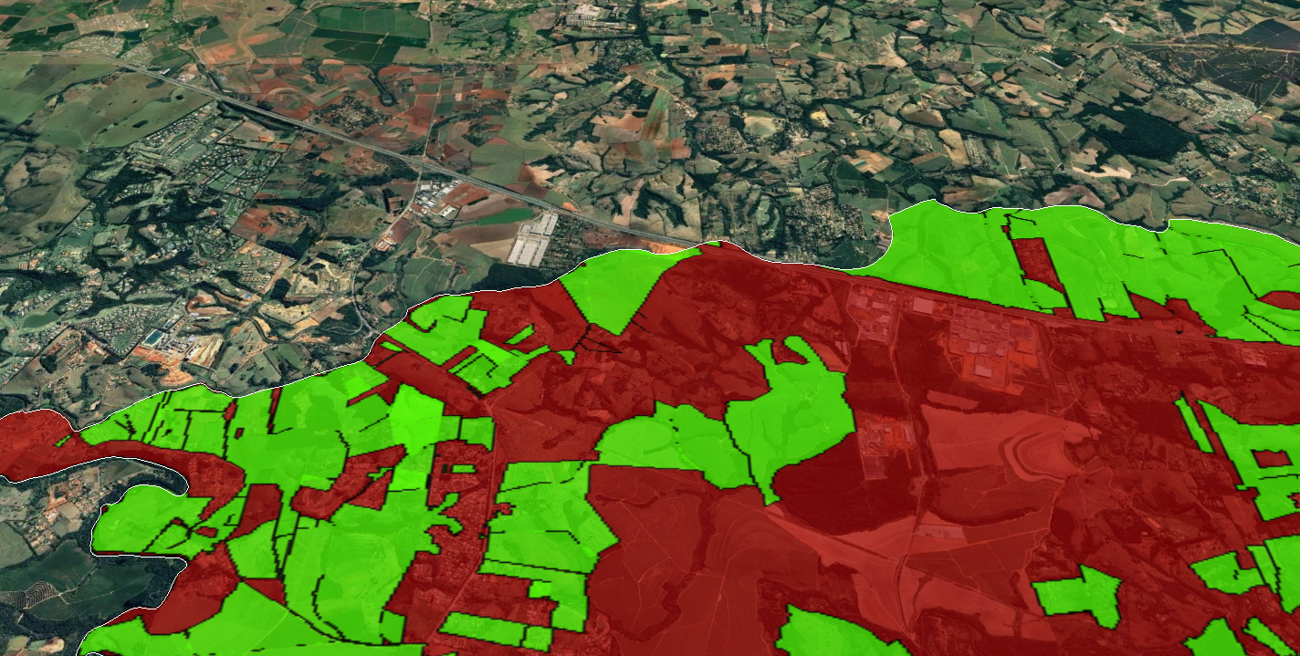
Identificamos os locais mais estratégicos para implantação de sistemas de armazenamento de energia (BESS), considerando infraestrutura, disponibilidade fundiária, acessibilidade, restrições ambientais e demanda energética.
Inteligência para Linhas de Transmissão
Definimos os corredores mais eficientes para implantação de linhas de transmissão. Integrando critérios técnicos, ambientais, fundiários e econômicos, reduzimos custos, minimizam impactos e apoiam decisões para projetos de infraestrutura energética.
Benefits
RESULT ON THE MAP
It is possible to view all the urban and environmental information important for decision-making on a single map.
URBAN GEODATA
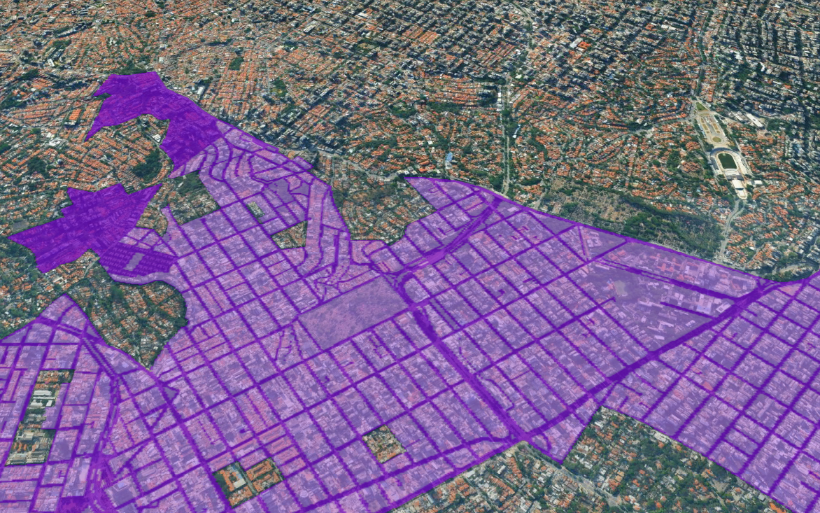
We use georeferenced data to map the socioeconomics, urban zoning, building guidelines, and current laws of municipalities.
POPULATION DENSITY
Geospatial analysis and future insights into the consumption potential and local competition that may impact your business.
URBAN GROWTH
We understand the municipality's expansion areas and indicate the best locations for operation.
APPLIED GEOTECHNOLOGY
Using technology to identify areas, land, and properties that meet the specific needs of each project.
OPTIMIZE YOUR TEAM
Save your expansion and prospecting team weeks of work by avoiding potential losses from poor choices.
Case: Expansion study for a medium-sized city in São Paulo state.
The city has established itself as a regional hub, presenting high socioeconomic indicators. Despite its economic and strategic dynamism, the municipality faced a lack of in-depth analysis of the city's real economic potential, its territorial vocations, and its capacity to attract and develop new real estate businesses.
Linkages was brought in to provide the strategic intelligence needed to transform the challenge into an opportunity, working on a comprehensive territorial intelligence study. The “City Expansion” study delved into the analysis of urban expansion, focusing on the city's growth over the last 30 years. As a result, the study identified the vectors of expansion, offering a comprehensive understanding of the characteristics of each area of the city. Furthermore, it included projections of real estate supply and demand, providing a strategic vision for the future of urban development in these growth areas.
Through a robust methodology that integrated socioeconomic, environmental, zoning, mobility, urban infrastructure, and real estate development data, we identified and examined strategic expansion vectors, revealing a landscape of opportunities for the real estate market.