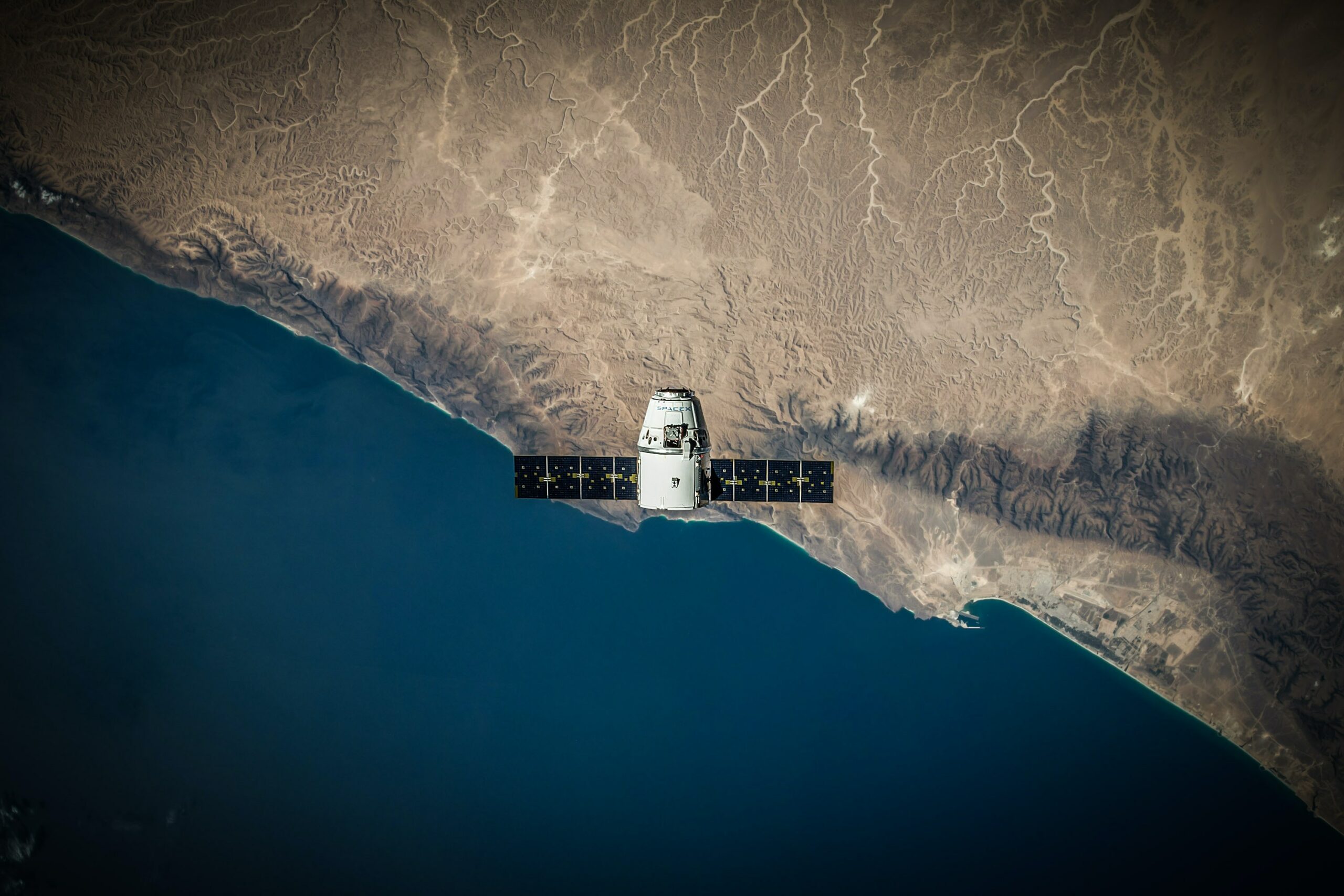
We call satellite any object that orbits around a planet. These can be "natural", like the moon, or "artificial", like those constructed by man. Since the 20th century, artificial satellites have helped humanity to transmit radio, television and internet signals, as well as location information and weather events.
Although it is not the purpose of this article to delve into the technical functioning of a satellite, it is interesting to know that they transmit 2 types of information: signals and images. Signals are transmitted using radio waves, while images are transmitted using light.
The first artificial satellite was the Sputnik 1, launched by the Soviet Union in 1957. Sputnik 1 did not transmit images, only radio signals. It was small, the size of a basketball, and weighed only 83.6 kg.
The first satellite to transmit images was the Telstar 1, launched by the United States and France in 1962. Telstar 1 transmitted television pictures between Europe and the United States.
Both models were important milestones in the history of space exploration. They proved that it was possible to place objects in orbit around the earth, paving the way for the development of more sophisticated satellites.
Remote sensing and the evolution of image interpretation of the territory
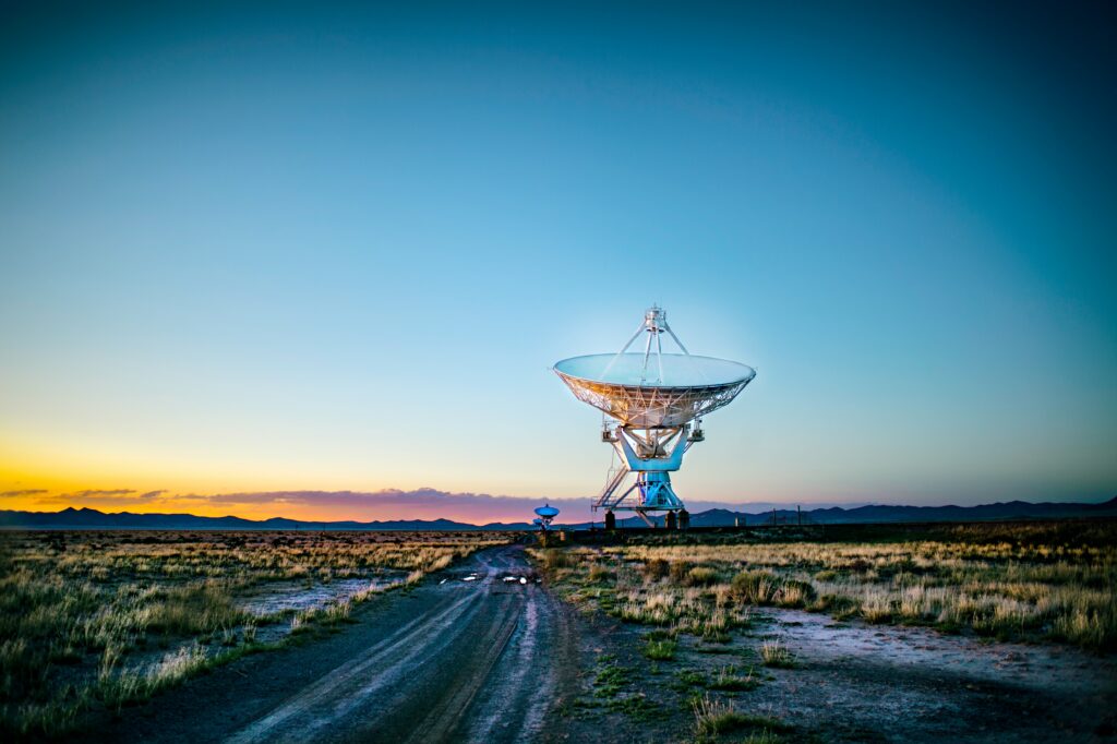
Remote sensing is the collection of data about an object or area without being in physical contact with it. On Earth, this is done through a variety of methods, including aerial photography, satellite imagery, and radar.
One of the first records of image interpretation by remote sensing was in the wars of the 17th century, as the military used pigeons with cameras on their bellies to photograph the battlefield. These photographs were then used to plan attacks and assess the effectiveness of bombing raids. Later, in the 19th century, the German geographer Alexander von Humboldt used aerial photographs to map the Amazon.
Already in the 20th century, humanity launched the first satellites, expanding the transmission spectrum and opening the doors of our modern world. Currently, satellites are responsible for most of the facilities we are so used to, such as the use of GPS, weather forecast and even the internet itself.
A good example of this is Google Maps. This well-known software collects satellite images, which after being processed and combined, are used to create a three-dimensional map of the world.
To illustrate the effectiveness of this collection of images today, a curious fact: a satellite takes just 15 days to photograph the whole of Brazil. A tiny amount of time considering the size of the territory.
Brazilian satellites and preservation of the environment
Remote sensing and the transmission of images and signals via satellite have several applications, including:
- Monitoring of climate, agriculture and borders.
- Constant updating of territory mapping.
- Transmission of radio, television and internet signals.
But there are still satellites launched with more specific purposes, such as the Amazon 1, the first satellite entirely designed and built in Brazil (INPE, the National Institute for Space Research in Brazil), which was launched in February 2021.
In order to monitor Amazon deforestation, forest degradation and other environmental problems, Amazônia 1 is capable of capturing images of the Earth's surface with a resolution of 1.5m.
This satellite will be instrumental in developing policies that protect the region, which is one of the largest tropical forests in the world and an important carbon sink.
Another example of technology designed to preserve the environment is the VCUB 1, a Brazilian nanosatellite developed by Visiona Tecnologia Espacial, a joint venture between Embraer and Telebras.
It launched on April 15, 2023 aboard a SpaceX Falcon 9 rocket from Cape Canaveral, Florida. VCUB 1 is the first satellite developed by Brazilian industry, without government participation. It is certainly a great milestone that proves Brazil's commitment to space research and development.
This state-of-the-art equipment weighs just 12 kg and measures 1 m in length. It is equipped with a multispectral camera that can capture images of the Earth at a resolution of 3.5m and an infrared sensor capable of capturing images at night.
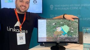
Linkages and the interpretation of Brazilian soil
The use of images is fundamental for the interpretation of soil, whether urban or rural. Through them, it is possible to identify:
- Types of areas: agricultural, forestry, urban or rural.
- Soil degradation, such as erosion, salinization and contamination.
- Slope, presence of bodies of water and other characteristics of the environment.
Not to mention that the images, combined with reliable data crossed from specific sources, such as urban zoning laws and municipal master plans, added to the eyes of our specialists, gain a powerful precision of georeferenced information.
This information, depending on the client's objectives, can be used to devise more effective go-to-market and expansion strategies.
To learn more about our mappings, Click here.
Or schedule a personalized service with our team this way.