Making decisions about expansion, investment, or development without territorial intelligence is to take unnecessary risks. Territory is not just location—it's legislation, economic dynamics, population behavior, infrastructure, and urban transformation happening simultaneously.
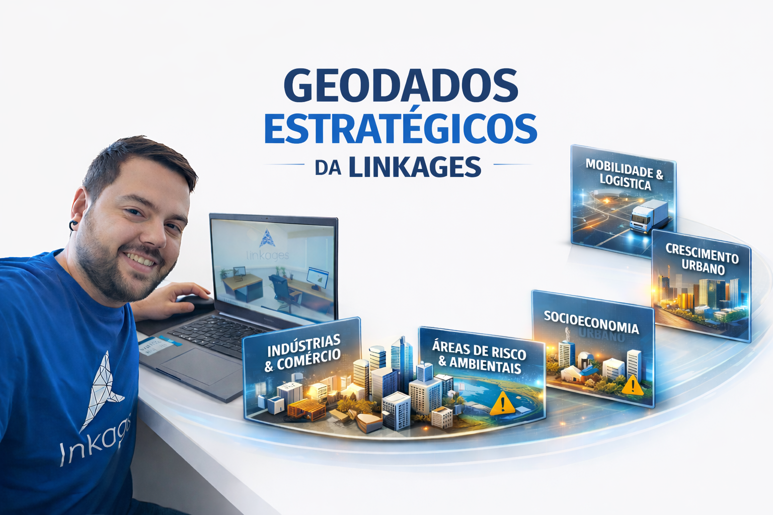
At Linkages Geoespacial, we integrate strategic layers of geodata that allow us to see what the market doesn't yet see. Below, you'll understand how each dataset directly impacts decision-making.
Zoning & Building Guidelines
It integrates detailed information on urban legislation, utilization coefficients, building height limits, occupancy rates, permitted uses, and construction restrictions. This geodata allows for the simulation of construction potential, the evaluation of technical feasibility, and the reduction of regulatory risks before land acquisition or project development.
Income & Consumption
It maps household consumption capacity, socioeconomic profile, and spending patterns by territory. It supports product positioning decisions, average ticket definition, commercial mix, and potential demand analysis based on the local economic reality.
Population
It presents detailed demographic data such as density, age range, family composition, and population growth. Essential for understanding market dynamics, demand projections, and strategic expansion planning.
Housing
It consolidates information on property types, construction standards, housing stock, and occupancy profile. This allows for the identification of deficits, saturation, or opportunities for real estate repositioning.
Verticalization of Cities
It monitors the evolution of building density and building profiles over time. This data reveals trends in densification, urban transformation, and drivers of real estate appreciation.
Urban Growth
It analyzes the territorial expansion of cities, new subdivisions, land divisions, and changes in land use. Essential for anticipating development trends and identifying areas with potential for future appreciation.
Urban Infrastructure
It gathers data on urban networks and equipment and essential services. It allows for the assessment of urban maturity and operational risks in real estate or industrial projects.
Mobility & Logistics
It integrates information on road networks, public transportation, traffic flow, and accessibility. It supports decisions related to the attractiveness of developments, logistical efficiency, and strategic location.
Public & Private Works
It monitors ongoing and planned investments, such as highways, hospitals, shopping centers, and residential developments. Anticipating these transformations allows for capturing opportunities before market consolidation.
Agricultural Infrastructure
Maps productive areas, silos, cooperatives, agro-industrial hubs, and support infrastructure for agribusiness. Strategic for rural market analysis, logistics, and investments in the agricultural sector.
Companies & Employees
Georeferencing of establishments, business size, sectors of activity, and job concentration. Allows for the evaluation of local economic dynamism, productive clusters, and potential for demand generation.
Industries
Identifies industrial hubs, production profiles, size, and sectoral specialization. Essential for analyzing production chains, attracting investment, and conducting economic impact studies.
Warehouses
Maps logistics centers, warehouses, and storage structures. Supports logistics expansion decisions, supply chain analysis, and identification of distribution hubs.
Concentration of People
Analyzes the flow and duration of people at different times of day, based on dynamic data. Essential for studies of commercial locations, urban mobility, and service planning.
Environmental Risk Areas
Identifies regions prone to flooding, landslides, contamination, or other environmental vulnerabilities. Reduces exposure to legal, financial, and operational risks in projects.
Environmental Protection Areas
It defines conservation units, Permanent Preservation Areas (APPs), and zones with environmental restrictions. It ensures legal compliance, avoids environmental liabilities, and guides sustainable land use strategies.
Making decisions based on territorial intelligence is no longer a differentiator—it's a prerequisite for competing in increasingly complex markets. Linkages' geodata transforms uncertainty into strategy, risk into predictability, and opportunity into concrete advantage. If you want to see the territory with analytical depth and make evidence-based decisions, it's time to evolve your market analysis.