
More than analyzing territories, we reveal opportunities.
We empower businesses through territorial intelligence. We transform geodata and geospatial analyses into strategies that guide market, location, expansion, and investment decisions. Combining GeoIA, strategic data, and proprietary methodologies, we deliver intelligence that reduces uncertainty, reveals opportunities, and drives sustainable growth for businesses and governments.
Aplicações para diferentes mercados
Real estate market
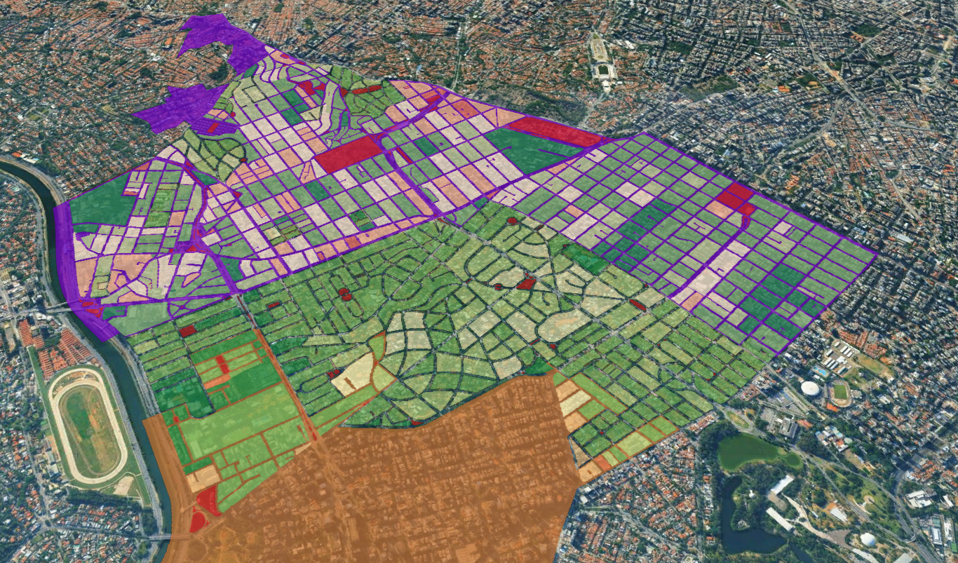
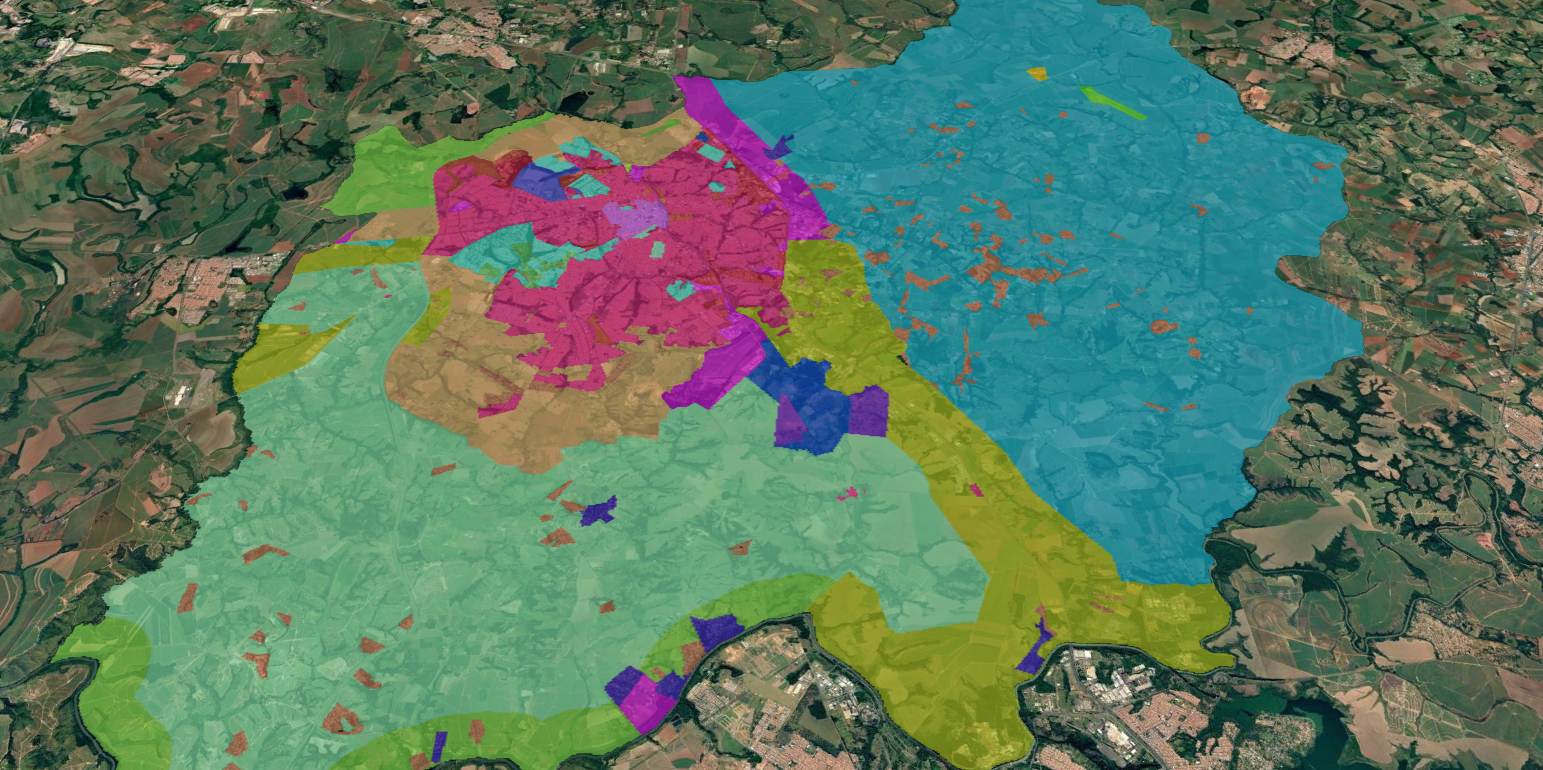
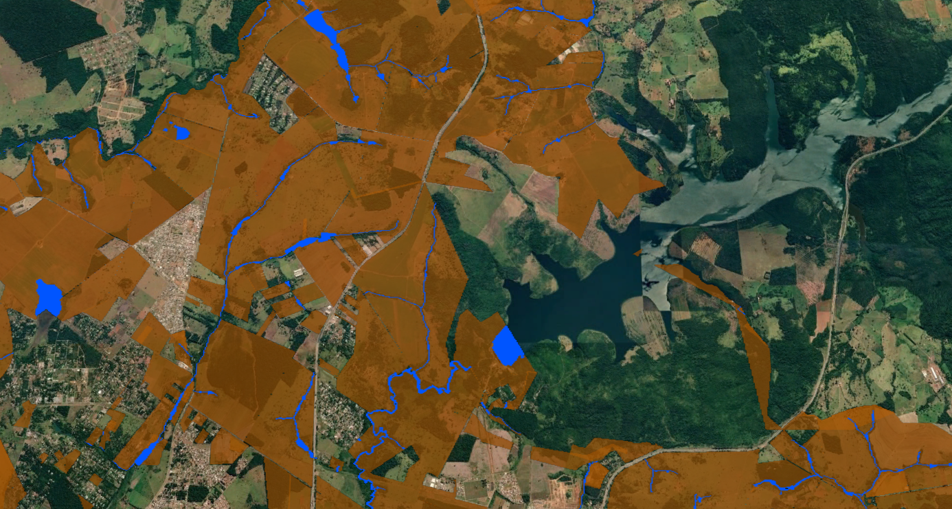
We map areas for prospecting, identify vectors for city expansion, and monitor assets to support faster, safer, and more profitable decisions.
Retail and Franchises
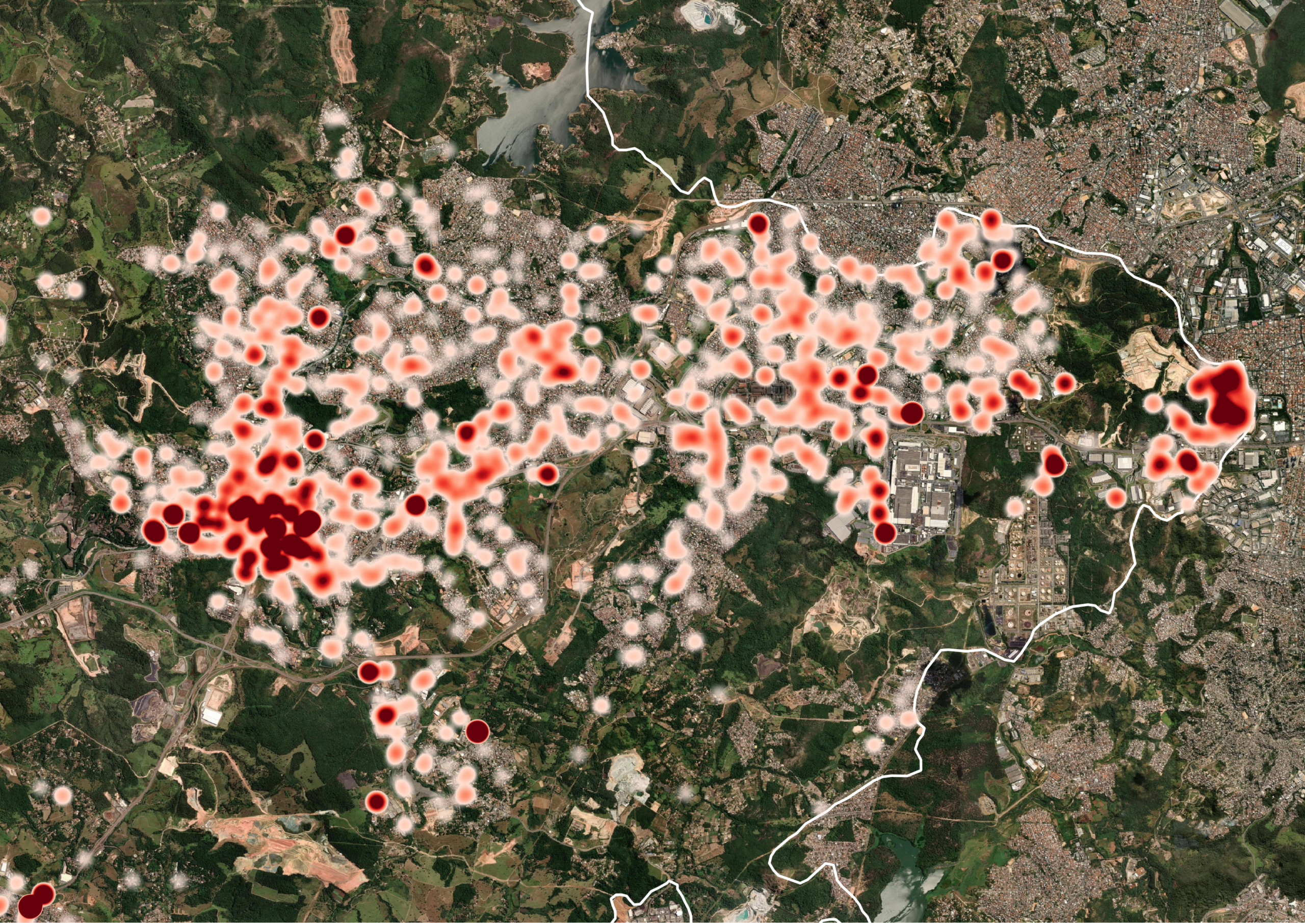
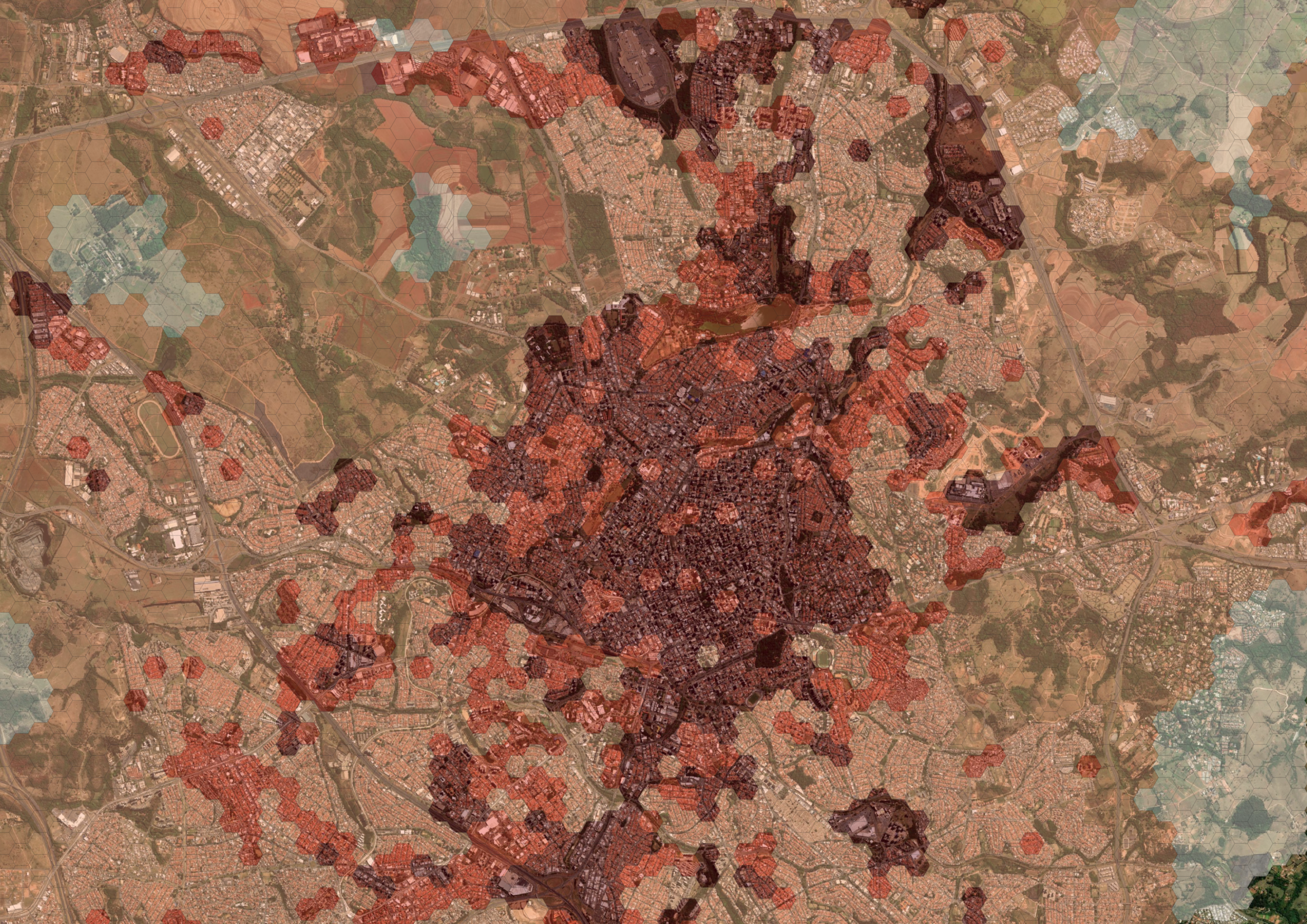
O nosso Chat.IA Analista de Expansão e a Indicação de Praças utilizam inteligência geoespacial para identificar as melhores cidades e pontos para o crescimento do seu negócio.
Government
O Mapa da Cidade e a Avaliação de Zoneamento oferecem inteligência territorial para apoiar o planejamento, a revisão de Planos Diretores e a gestão eficiente do território.
Environmental
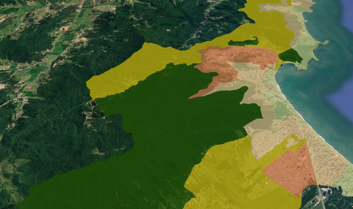
Aceleramos projetos ambientais com análises geoespaciais. Desenvolvemos Estudos Socioambientais e identificamos áreas com potencial para Projetos de Carbono (CO₂e), reduzindo riscos e aumentando a eficiência dos estudos.
Energy
Encontre os melhores locais para novos empreendimentos. A prospecção de Áreas para Usinas e BESS identifica regiões com maior potencial técnico, ambiental e logístico para implantação de projetos de energia.
Agribusiness
Gain complete visibility across the supply chain. Supply Chain Mapping connects producers, suppliers, and territorial assets to strengthen management, ESG compliance, and decision-making.
Geotechnology to deliver high-precision solutions.
We use validated analyses and an infrastructure based on... continuously updated geodata, integrating socioeconomic, mobility, infrastructure, land use and market information.
Our solutions incorporate GeoIA and methodological rigor to identify patterns, predict scenarios, and generate strategic recommendations. Each project is customized according to the challenges and objectives of each client, guaranteeing reliable territorial intelligence for market, location, expansion, and investment decisions.
Customers
We are a technology-based company.
We were born within the UNICAMP innovation ecosystem, connecting research, technology, and market intelligence to develop solutions capable of generating concrete results for companies and governments. This origin allows us to transform scientific knowledge into practical applications, combining strategic geodata, GeoAI, and methodologies to solve complex market challenges. The result is the delivery of modern, reliable, and customized solutions that increase competitiveness, reduce risks, and enhance growth opportunities for our clients.

Content

Intelligent real estate prospecting: how territorial data is redefining the choice of areas.
Choosing a good location has always been one of the most crucial factors for the success of a business. However, what was once guided mainly by experience, market perception, and specific opportunities, now requires a much more sophisticated level of analysis. In a scenario of squeezed margins, increased land acquisition costs, and greater competitiveness, making the wrong choice of location can mean losing millions. It is in this context that land prospecting, also called land scouting, evolves into a technical, structured, and data-driven process, ceasing to be a purely technical activity.

Discover the Linkages geodata ecosystem.
Making decisions about expansion, investment, or development without territorial intelligence is to take unnecessary risks. Territory is not just location—it's legislation, economic dynamics, population behavior, infrastructure, and urban transformation happening simultaneously. At Linkages Geoespacial, we integrate strategic layers of geodata that allow us to see what the market doesn't yet see. Below, you'll understand how each data set directly impacts decision-making. Zoning & Building Guidelines: Integrates detailed information on urban legislation, utilization coefficients, building height limits, occupancy rates, permitted uses, and construction restrictions. This geodata allows us to simulate construction potential, evaluate technical feasibility, and...

Investing in Brazil requires more than spreadsheets: The role of geodata in the Feasibility Study phase of Real Estate projects.
In Brazil, real estate investment decisions are still frequently made based on outdated, fragmented territorial data that has a low capacity to represent real urban dynamics. The time lag in public databases, the methodological heterogeneity between sources, and the low spatial resolution create a high-risk environment precisely at the most critical stage of the project: the feasibility study. In a country of continental dimensions, with accelerated urban growth, territorial informality, and rapid changes in land use and occupation, feasibility models that treat the territory as static tend to generate significant distortions in the assumptions of