Geospatial Solutions

Areas for Prospecting
We identify potential areas for new developments based on qualified data.
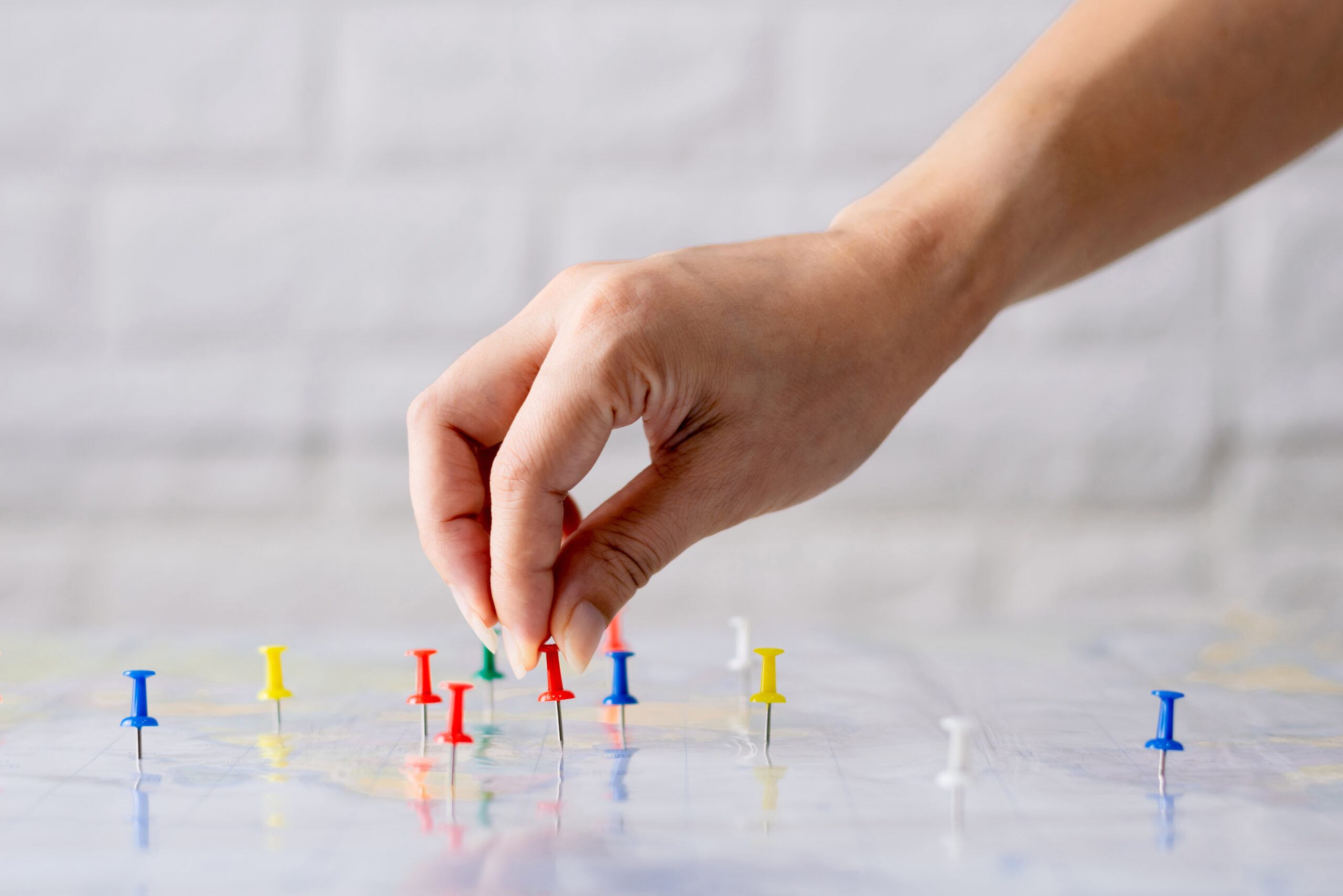
Indication of Squares
We integrate geodata to indicate the points and locations with the greatest performance potential.

City Expansion
We identified the vectors of urban growth and the areas with potential for appreciation.
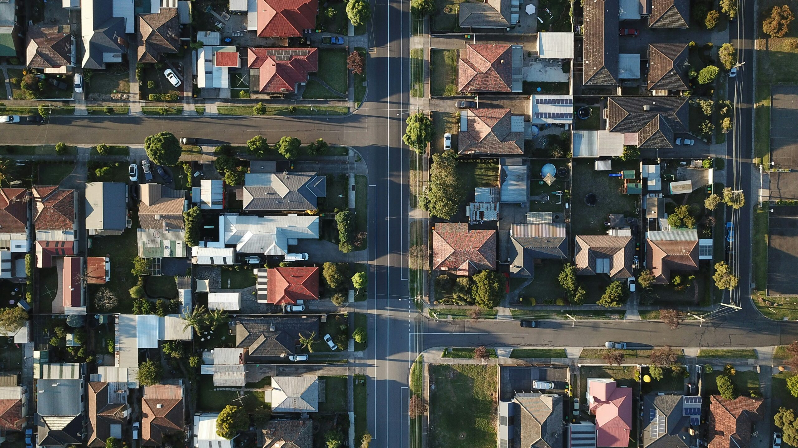
Map of the city
We modernized the municipal geoinformation portals with qualified data about the city.

Asset Radar
We monitor territorial assets, identifying potential opportunities, risks, and market trends.

Socio-environmental Study
We mapped communities, social dynamics, and the territorial impacts of environmental projects.
Integrated Geodata
We provide strategic socioeconomic, urban, and environmental data on integrated, qualified, and reliable bases.

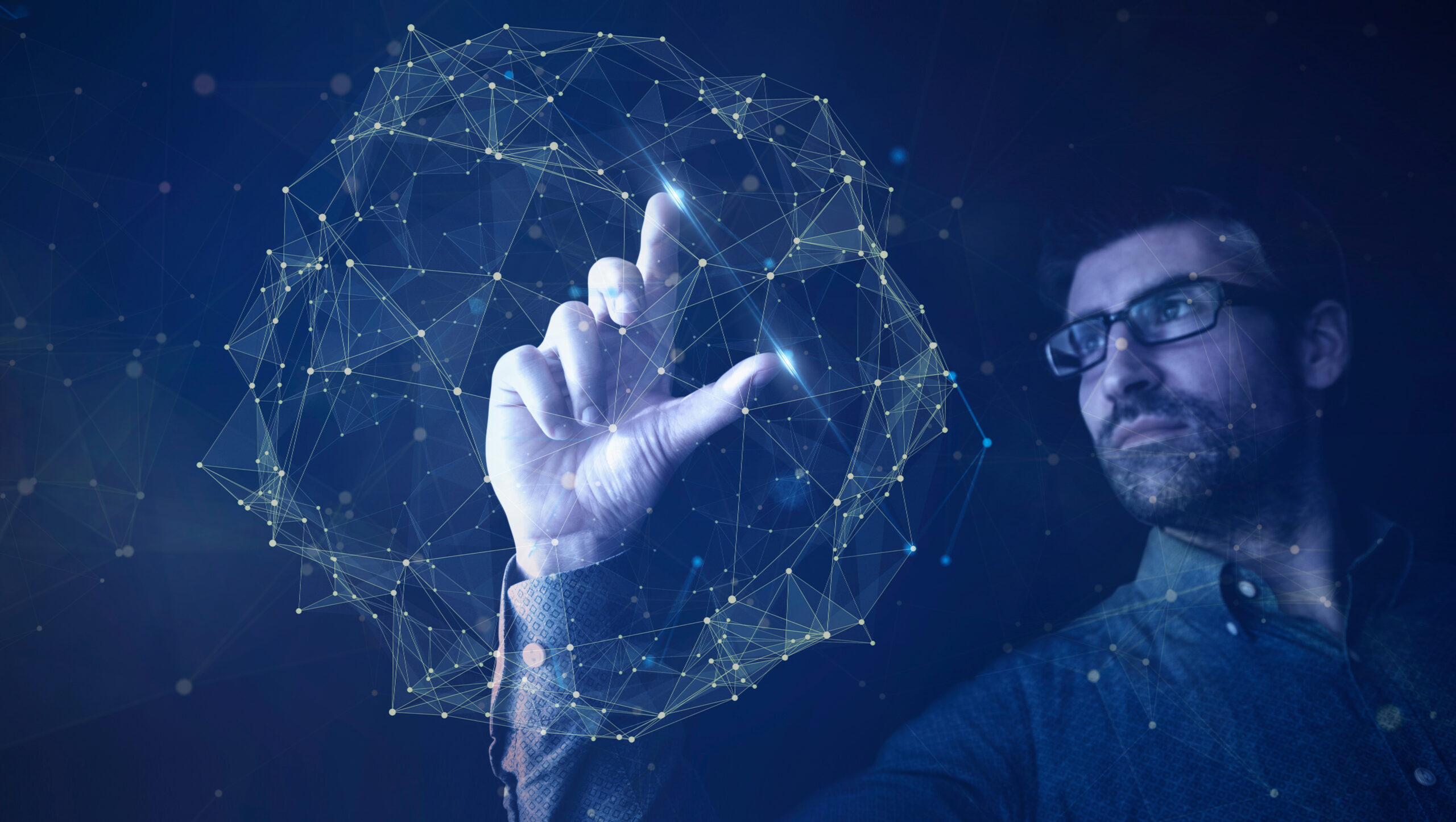
Geospatial AI
We apply artificial intelligence to analyze territories, predict patterns, and recommend location decisions.
Our Ecosystem
Our market mapping method is based on broad, intelligent and automated geolocation data collection to provide fast results. We are immersed in the largest innovation ecosystems in Brazil! We are a daughter company of UNICAMP and have a space at USP - Campus São Paulo, in the NIDUS Program.


The future of generation Z: discover consumer and housing trends that are already revolutionizing the global market
It's no secret that Generation Z, comprised of young people born from the mid-1990s to the early 2010s, has been remarkably shaping the consumer landscape. As this generation matures and enters the workforce, their worldview and personal choices have a significant impact on all sectors, particularly regarding food and housing. Therefore, keeping up with these changes becomes crucial for businesses that intend to remain thriving in the years to come. In this article, we will explore the consumer trends of Generation Z.
Artificial intelligence: discover GPT Chat applied to maps
You've probably already heard some news about the revolution we're experiencing in the field of technology with the advancement of Artificial Intelligence. But what does that mean and what does it have to do with maps and geomarketing? Let's find out in this article. Artificial intelligence (AI) is a branch of computer science that focuses on creating systems that can reason, learn, and act similarly to humans. AI has a long history, dating back to the early days of computing. The first use of the term "artificial intelligence" was in 1955, in an article by the mathematician...

Did you know that your company's data visualization says a lot about your next decision?
We already know that making data-driven decisions is the only way to grow a business. Now, did you know that there's a whole science behind data visualization and that the way you organize it can be crucial to its interpretation? Humans are visual creatures, and depending on the hierarchy of information in a report, we can feel influenced, confused, or, in the worst-case scenario, overwhelmed with information to make a decision. This is why Linkages follows certain standards of excellence when it comes to presenting data to our clients. Keep reading this
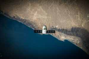
The evolution of satellite images and their role today
We call any object that orbits a planet a satellite. These can be "natural," like the moon, or "artificial," like those built by humans. Since the 20th century, artificial satellites have helped humanity transmit radio, television, and internet signals, as well as location information and weather events. Although it is not the purpose of this article to delve into the technical workings of a satellite, it is interesting to know that they transmit two types of information: signals and images. Signals are transmitted via radio waves, while images are transmitted via...