Aplicações para diferentes mercados
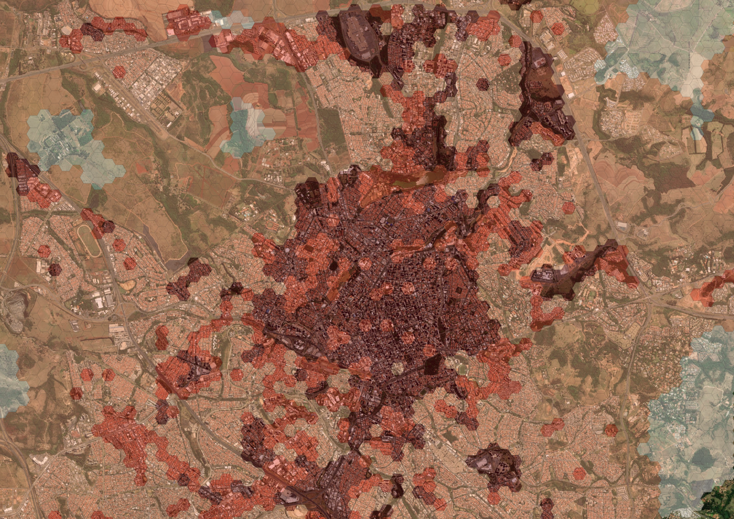
Real estate market
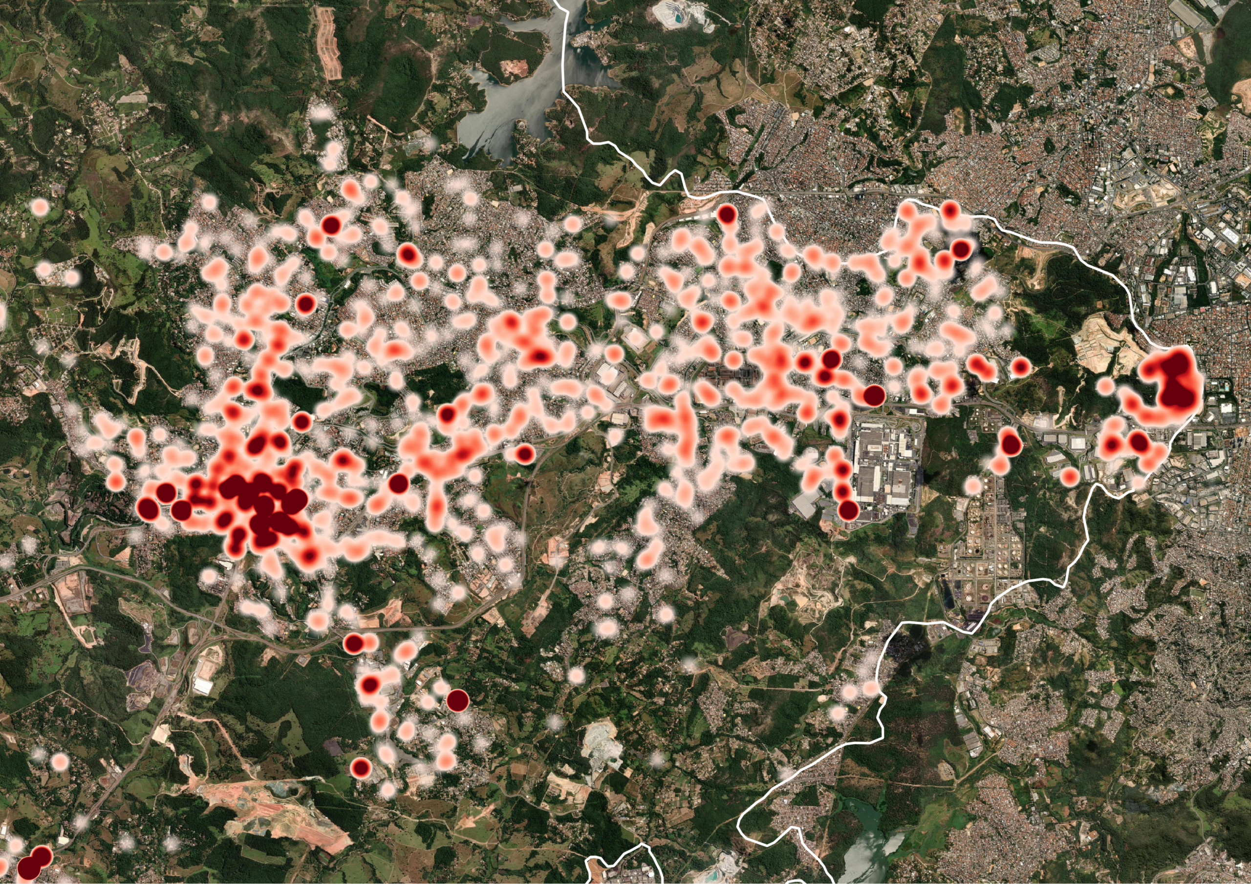
We map areas for prospecting, identify vectors for city expansion, and monitor assets to support faster, safer, and more profitable decisions.
Retail and Franchises
O nosso Chat.IA Analista de Expansão e a Indicação de Praças utilizam inteligência geoespacial para identificar as melhores cidades e pontos para o crescimento do seu negócio.
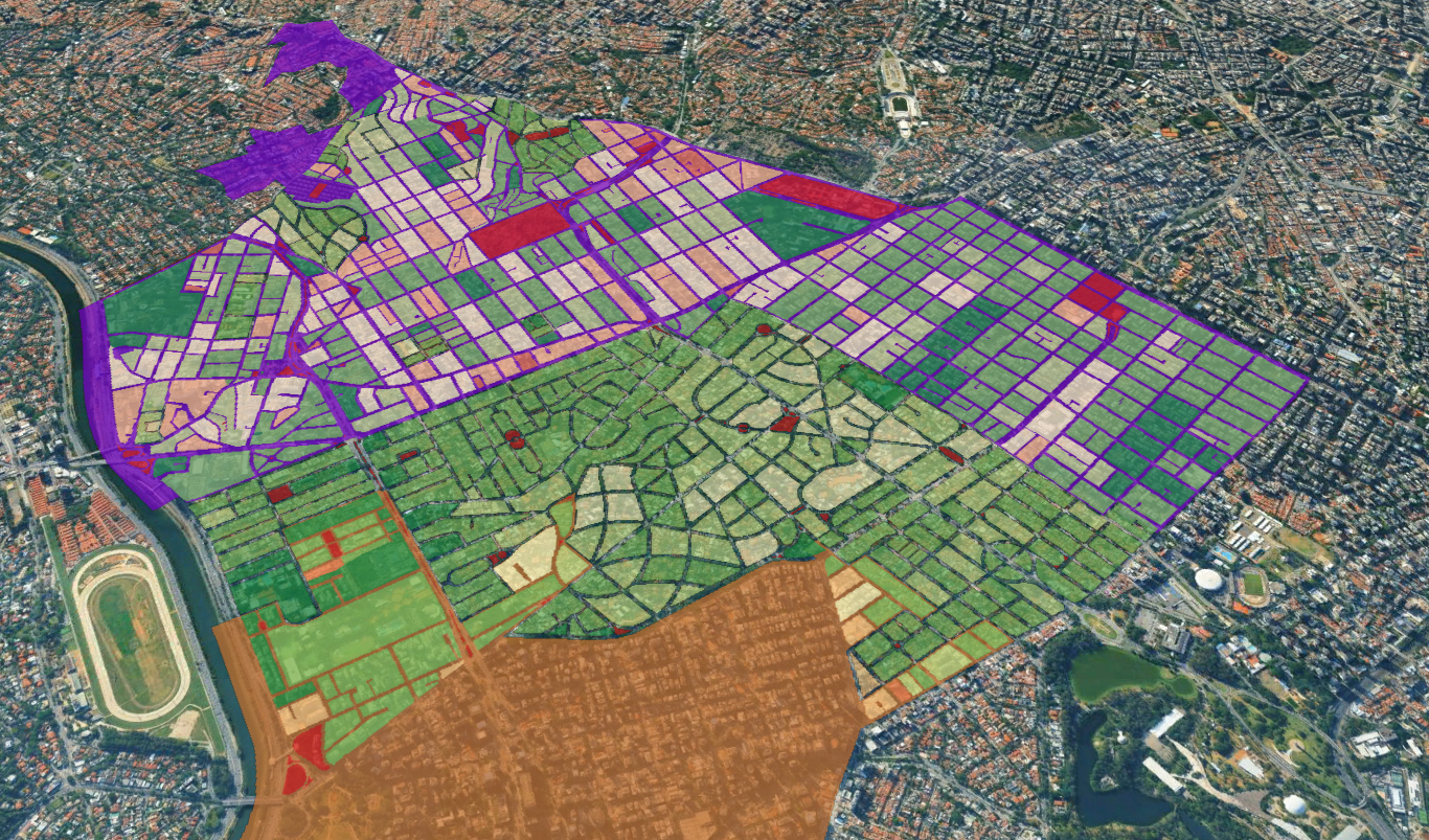
Government
O Mapa da Cidade e a Avaliação de Zoneamento oferecem inteligência territorial para apoiar o planejamento, a revisão de Planos Diretores e a gestão eficiente do território.
Environmental
Aceleramos projetos ambientais com análises geoespaciais. Desenvolvemos Estudos Socioambientais e identificamos áreas com potencial para Projetos de Carbono (CO₂e), reduzindo riscos e aumentando a eficiência dos estudos.
Energy
Encontre os melhores locais para novos empreendimentos. A prospecção de Áreas para Usinas e BESS identifica regiões com maior potencial técnico, ambiental e logístico para implantação de projetos de energia.
Agribusiness
Gain complete visibility across the supply chain. Supply Chain Mapping connects producers, suppliers, and territorial assets to strengthen management, ESG compliance, and decision-making.
We are a technology-based company.
We were born within the UNICAMP innovation ecosystem, connecting research, technology, and market intelligence to develop solutions capable of generating concrete results for companies and governments. This origin allows us to transform scientific knowledge into practical applications, combining strategic geodata, GeoAI, and methodologies to solve complex market challenges. The result is the delivery of modern, reliable, and customized solutions that increase competitiveness, reduce risks, and enhance growth opportunities for our clients.


The turning point: Why 8 out of 10 successful businesses love their location (and what challenges they hide)
The location of a business is more than just a point on a map; it's a strategic decision that can dictate long-term success or failure. We analyzed data from companies of various sizes and sectors to discover: what truly motivates the choice of an address, how entrepreneurs evaluate their decision, and what obstacles persist, even among the most satisfied. Get ready to unveil the X-ray of Business Location in Brazil. In practice, this is exactly the type of diagnosis that Linkages Geoespacial develops for companies that need to decide where to be located — and,

Why outdated data in the 'feasibility studies' phase puts real estate investments at risk.
The territory is in constant transformation. New ventures emerge, population flows shift, socioeconomic profiles change, and urban dynamics reorganize themselves in increasingly shorter cycles. In such a scenario, making strategic decisions based on outdated data means taking on invisible risks that directly impact the profitability, positioning, and sustainability of any investment. Companies that fail to keep up with this evolution end up making decisions about a territory that no longer exists. Feasibility Studies: The Geodata Turnaround — From Technical Resource to Strategic Asset. The feasibility studies phase.

The New Era of Geospatial Intelligence in Real Estate: The Linkages Revolution
Geospatial analysis has ceased to be a technological differentiator and has become the core of strategic decisions in the modern real estate market. Developers, construction companies, funds, and asset managers who use market intelligence with geotechnology are able to reduce risks, accelerate processes, and identify opportunities invisible to traditional methods. Transforming geodata into decisions worth millions. This is precisely where Linkages stands out—with methodology and geotechnology led by Dr. Lucas Baldoni, a geographer specializing in territorial intelligence applied to the market. His scientific and practical vision has led to the creation of solutions that combine robust methodology, academic precision, and...