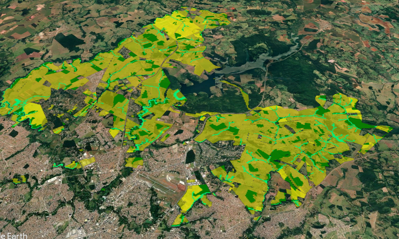
Prospecção de Áreas para Projetos CO2e
We have identified good areas for investment in carbon projects, considering international methodologies.
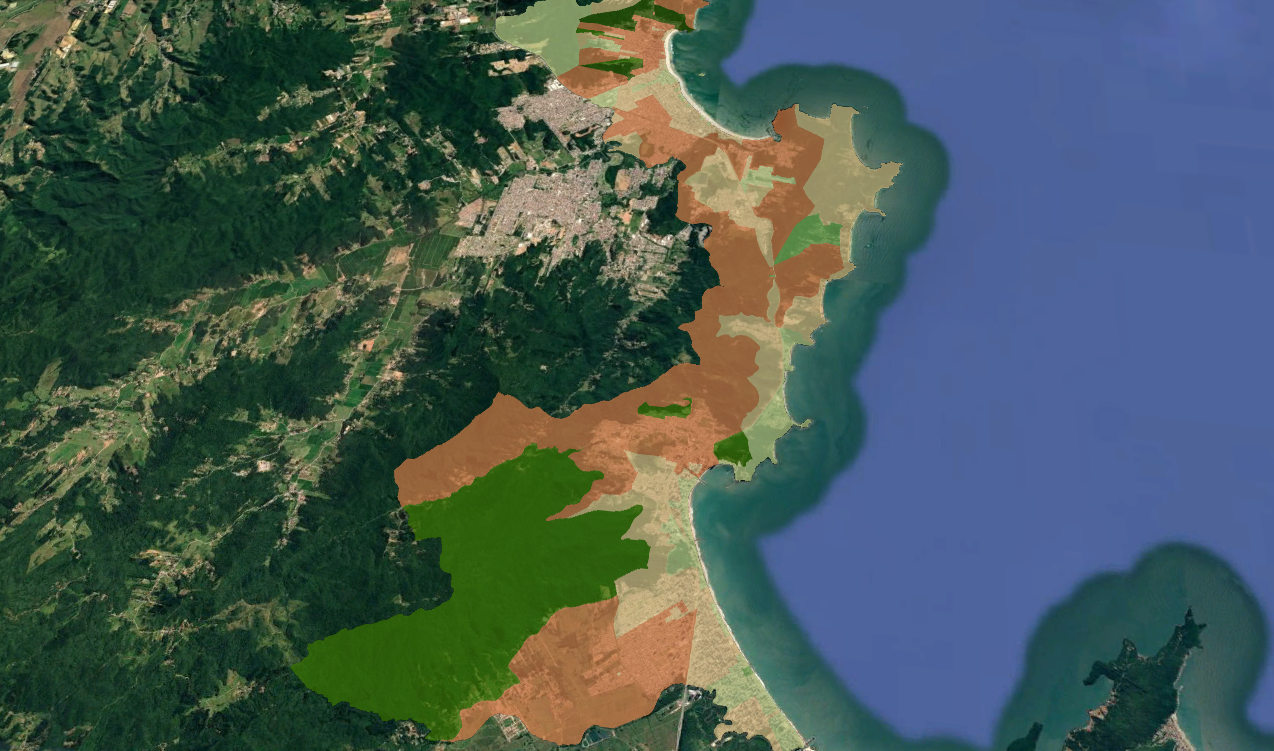
Socio-environmental Study
We cross-reference environmental, social, and economic data for feasibility studies of large-scale projects.
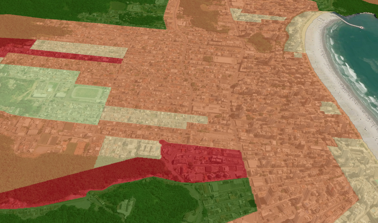
Identificação de Riscos
We integrate climate data, historical environmental data, satellite imagery, and territorial variables to map areas most susceptible to extreme events.