
The Brazilian real estate market is undergoing a rapid transformation driven by technology, data, and new business models. However, there is a silent—and extremely costly—bottleneck that still limits more accurate decisions: the fragmentation and outdated nature of territorial data. For those working in Real Estate, The success of a project doesn't begin with construction or the launch—it starts with the feasibility study.. And it is precisely at this stage that decisions based on incomplete data can jeopardize investments of millions, or even billions of reais.
AN INVISIBLE LABYRINTH: Why studying feasibility in Brazil is still a structural challenge.
Conducting a feasibility study in Brazil often resembles an exercise in digital archaeology. Unlike more mature markets, where there is standardization and integration of databases, the country faces extreme decentralization: there are more than 5,500 municipalities, each with its own real estate registration system, zoning rules, and different levels of transparency and updating. In practice, a developer evaluating opportunities simultaneously, for example, in Campinas, São Paulo, and Goiânia, needs to navigate different legislations, incompatible data formats, and often incomplete sources. This process, which should be analytical, becomes operational and can add weeks to the study—or worse, generate misinterpretations that directly impact the project's outcome.
The complexity increases when considering territorial informality. According to the IBGE (Brazilian Institute of Geography and Statistics), approximately 16 million Brazilians live in informal areas, which often do not accurately reflect official records. This means that maps, registries, and even income data may not accurately reflect reality. In many cases, satellite images reveal recent urban developments that have not yet been captured by public databases, resulting in a real population density in certain regions that is 301 to 501 times higher than recorded. In practice, this can lead a study to underestimate the consumption potential of an area or to misinterpret local dynamics.
THE LAYER OF TERRITORIAL TRUTH: How Linkages redefines the reading of the city.
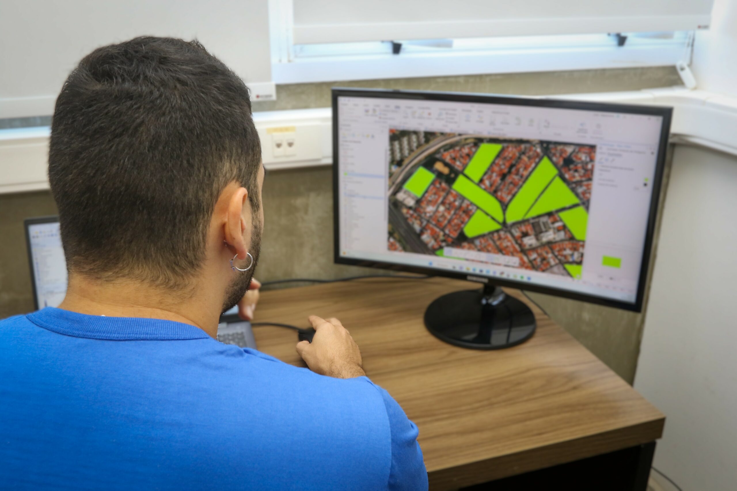
It is precisely in this scenario that the Geospatial LinkagesIt positions itself as a layer of territorial truth. Using high-resolution satellite imagery, advanced geoprocessing, and spatial intelligence, the company allows us to see the territory as it truly is today, and not as it appears in outdated databases. While traditional models treat urban space as something static, this approach captures fundamental microdynamics, such as the emergence of new growth vectors, changes in densification patterns, and the influence of physical and socioeconomic barriers.
However, understanding the territory is only part of the equation. To make complete decisions, it is necessary to connect this spatial analysis with real market data. This is where the partnership with [company name] comes in. Brain Strategic Intelligence Brain redefines the standard for analysis in Brazil. A national reference in supply, demand, price, and consumer behavior data, Brain brings an essential layer of intelligence that, alongside Linkages' geotechnology, allows for a much more precise and actionable view.
In practice, this means moving away from generic analyses and towards real diagnoses. Instead of using arbitrary circular radii, the analysis begins to consider real flows, displacement, road infrastructure, and urban barriers. This generates a much more accurate reading of how people actually move and consume in the city, making projections much more accurate. As a result, it is possible to significantly reduce locational risk and project the return on investment based on concrete variables, such as competitive pressure, absorption potential, and product alignment with the demand profile.
The End of "Blind" Spreadsheets: The New Decision-Making Standard in the Real Estate Market
Ultimately, the Brazilian real estate market no longer allows for decisions based on intuition or fragmented data. The integration of territorial intelligence and market intelligence transforms a historically chaotic scenario into a clear competitive advantage. For the developer, for example, this means fewer sizing errors, more suitable products, and greater commercial efficiency. For the investor, it represents predictability, security, and better capital allocation.
The question that remains is no longer whether you use data, but how reliable, up-to-date, and integrated that data is. Because, in the current scenario, simply looking at the map is not enough—it is necessary to actually see the city as it is transforming.